
Free and Open Source
QGIS Feed
Explore the latest updates, news, and resources for the QGIS community.
Explore the latest updates, news, and resources for the QGIS community.
You can also access the QGIS News Feed in JSON format.
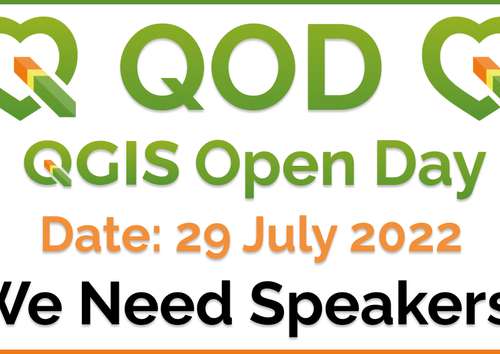
This Friday (29 July 2022) we will be holding our regular monthly QGIS Open Day event! QGIS Open Days promote dialogue and sharing of skills, knowledge and experience within the QGIS community. They are also a great way to sit back and have a little fun with other QGIS users from around the world!
We hope you will join us for the exciting sessions we have planned. Double-click this news entry to find out more! If you cannot join the live event, all sessions will be recorded and uploaded to the official YouTube channel.
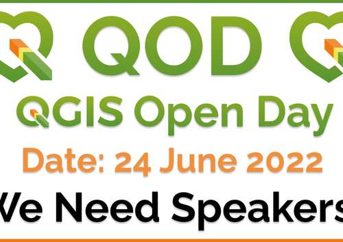
This Friday (24 June 2022) we will be holding our regular monthly QGIS Open Day event! QGIS Open Days promote dialogue and sharing of skills, knowledge and experience within the QGIS community. They are also a great way to sit back and have a little fun with other QGIS users from around the world!
We hope you will join us for the exciting sessions we have planned. Double-click this news entry to find out more! If you cannot join the live event, all sessions will be recorded and uploaded to the official YouTube channel.
We are very pleased to announce that this year’s round of grants is now available. The call is open to anybody who wants to make a funded contribution to QGIS, subject to the call conditions outlined in the application form.
The deadline for this round is in four weeks, on 13th February 2022.
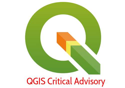
Our developers have discovered a critical issue in QGIS 3.16.12 which may cause plugins (and QGIS) to hang on Windows. All users of QGIS 3.16.12 are encouraged to upgrade to 3.16.13. Double Clicking this message will take you to the download page.
This Friday (17 December 2021) we will be holding the last QGIS Open Day of the year. QGIS Open Days are monthly community events to promote dialogue and sharing of skills, knowledge and experiences within the QGIS community. They are also a great way to sit back and have a little fun with other QGIS users from around the world.
We hope you will join us this friday as we have two exciting sessions planned. In the first some well known community members will be participating in a communal festive map creation event - you can even follow along at home and share your creations on the event page. The second session will feature Gary Sherman (QGIS Project Founder) and some members of the QGIS Project Steering Committee for an end-of-year review of the activities within the QGIS project. There will also be opportunity for you to post your own questions. Double click this news entry to find out more! If you cannot join the live event, be sure to watch after the fact - sessions will be recorded and uploaded to YouTube.

Support for point clouds was added to QGIS earlier this year, thanks to the help from the QGIS community with their generous donations. With this crowdfunding campaign, we aim to add several new features in QGIS to better visualise and interact with the elevation and point cloud data. If you work with such datasets, your help is needed! Double click this message to open the campaign page in your browser and find out how you can support our work!
In our ongoing efforts to ensure the highest quality of the releases we publish, we would like to advise you of a critical issue found in the QGIS LTR 3.16.12 and QGIS LTR 3.16.13 MSI releases. Preparation of the 3.16.14 MSI build, which should address the issue, is underway and should be available on Friday 19 November 2021. In the interim, if you are using either of these affected MSI builds we advise you to immediately revert to QGIS 3.16.11 MSI. The download for QGIS 3.16.11 MSI is available here:
https://qgis.org/downloads/QGIS-OSGeo4W-3.16.11-1.msi
Double clicking this news entry will cause it to download directly. We apologise for any inconvenience.
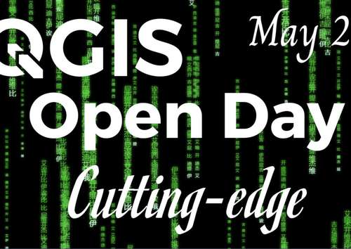
On Friday, 28 May 2021 we will be holding our monthly QGIS Open Day! What is a QGIS Open Day you may be wondering to yourself? It is an initiative to replace the wonderful community meetups we used to hold every six months when times were different. Like our in-person meetings, the event is organized on the principle of self-organisation and community participation. This open day will have the theme of "QGIS Cutting Edge". We will have sessions that show new features and new ideas in QGIS. To find out more, please double-click this article to open the event page in your browser.
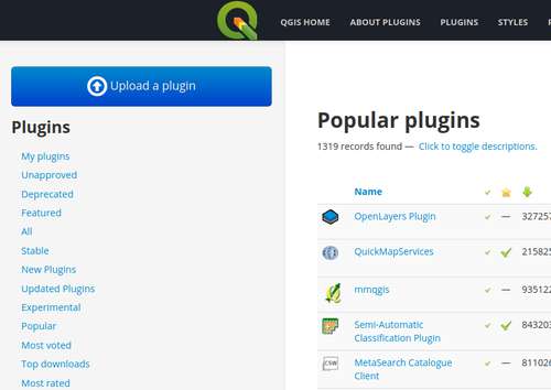
We are running out of space on our server running https://plugins.qgis.org - a sign of success, given the large number of plugins and plugin versions hosted on the platform. On Thursday 28 January at 9am West European Time, we will bring the server offline for a scheduled upgrade to the storage space on the server. We anticipate that the work will be completed within an hour. We thank you for your patience whilst we undertake this critical maintenance. The maintenance of QGIS infrastructure is undertaken largely by volunteers and the cost of servers and hosting related costs are funded by your donations and sustaining memberships. If you would like to help support this (and the many other excellent initiatives carried out by QGIS.org), please consider double clicking this news item to find out how you can help!
With the recent advancements in LiDAR survey technology and photogrammetry there has been a growing demand for capturing and storing point cloud data. With this crowdfunding campaign, Lutra Consulting, North Road and Hobu are aiming to add support for visualizing (2D/3D) and styling point cloud data in QGIS, by teaming up with the PDAL community. Double click this new item to read more!


Flagship membership

Flagship membership

Flagship membership

Large membership

Large membership

Large membership

Large membership

Large membership

Large membership

Large membership

Large membership

Large membership


